Aerial photos
Defined before the flight to avoid unnecessary media and ensure commercial usefulness.
Babula Shots Drone · Licensed pilots
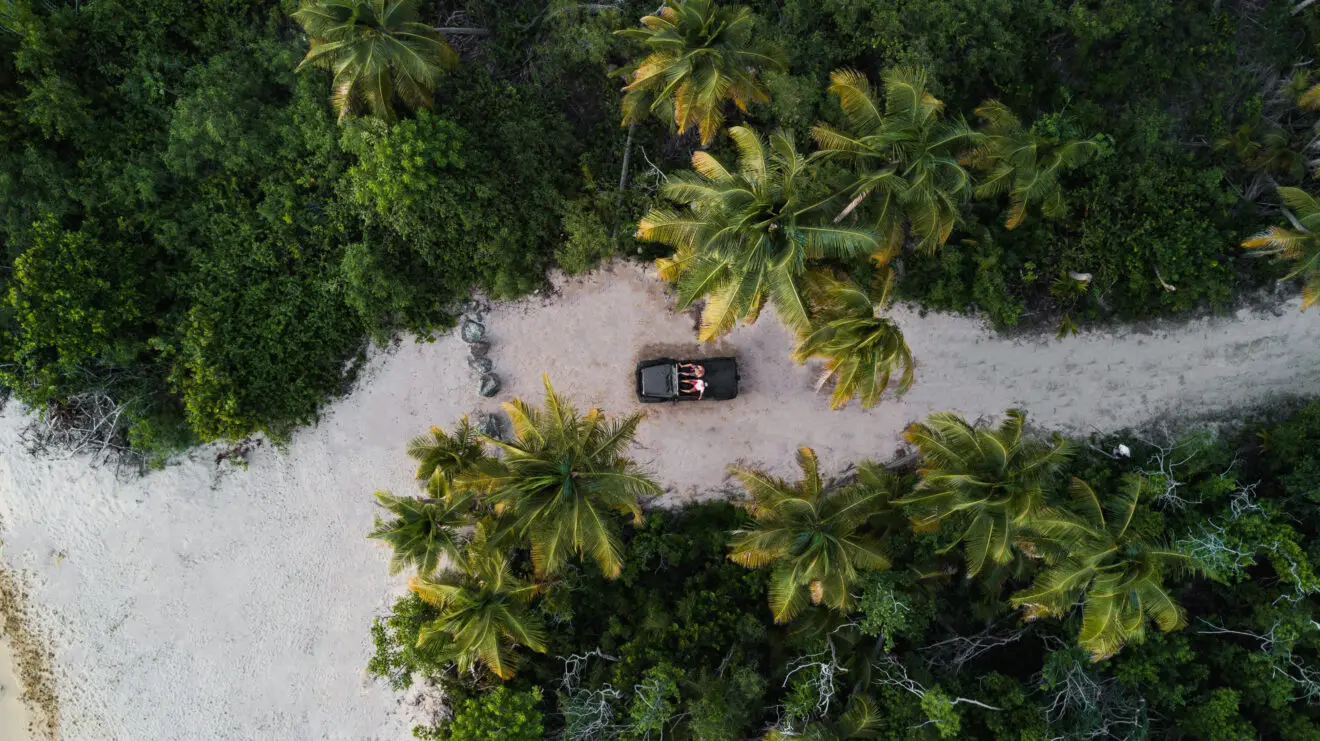
In Jarabacoa, drone value comes from showing location, access, scale and context clearly. Cabins, farms, rivers and mountains need aerial photography to show land, privacy, access and landscape.
Commercial context
Agents, developers, hotels, builders, farms, businesses and marketing teams needing aerial media in Jarabacoa.
The goal is not just a pretty flight. We plan height, route, framing, safety, weather and deliverables so the media supports sales, inspection, construction, architecture or technical documentation.
Deliverables
Defined before the flight to avoid unnecessary media and ensure commercial usefulness.
Defined before the flight to avoid unnecessary media and ensure commercial usefulness.
Defined before the flight to avoid unnecessary media and ensure commercial usefulness.
Defined before the flight to avoid unnecessary media and ensure commercial usefulness.
Defined before the flight to avoid unnecessary media and ensure commercial usefulness.
Prices
These prices come from the published Babula Shots menu. Final quote depends on travel, permits, weather, risk, equipment, urgency and deliverable type.
Pricing source: published Babula Shots menu
Flight plan
Use cases
Capture adapts to the objective: sell, measure, document, inspect or present.
Capture adapts to the objective: sell, measure, document, inspect or present.
Capture adapts to the objective: sell, measure, document, inspect or present.
Capture adapts to the objective: sell, measure, document, inspect or present.
Capture adapts to the objective: sell, measure, document, inspect or present.
Local context
Jarabacoa completely changes the Dominican drone palette: pines instead of palms, mountain rivers instead of sea, morning mist and 530 meters elevation. Aerial footage reveals the confluence of the Yaque del Norte and Jimenoa rivers, Jimenoa Uno and Dos waterfalls sunk into canyon, agricultural terraces of strawberry and vegetables, and the Pico Duarte silhouette at 3,098 meters on clear days.
For ecotourism and farms, drones document cabins in Jamaca de Dios, farms in Manabao, monasteries and retreats in La Confluencia, and rafting operations on the Yaque del Norte. For mountain real estate, aerial photography is the only way to explain land slope, orientation to Pico Duarte and distance to the waterfalls.
Jarabacoa has more variable weather than the coast: dense fog until 9 a.m., afternoon rain risk, and shifting valley winds. The ideal window is 9:00-11:00 a.m. when mist lifts from the river. The dry season (Dec-Apr) delivers deep blue skies that highlight the pine green.
Sister cities
If your project crosses several locations in the corridor, we group flights to reduce travel and deliver consistent media.
FAQ
Published packages start at RD$11,900 for essential listings, RD$23,800 for premium properties and RD$35,700 for luxury estates. Inspections, maps, thermal work and technical projects are quoted by objective, permits, risk and deliverables.
Send location, date, project type, approximate height, deliverables and whether you need photo, video, 360, mapping, measurement or inspection. We confirm feasibility, weather, permits and flight window before booking.
Services
Cities
Related
Same team, weddings
Booking aerial drone for a wedding venue? The same Babula Shots team also covers ceremony, reception and editorial wedding photography across Punta Cana, Santo Domingo and the Dominican Republic.
Quote
Send location, date, objective, approximate height and required deliverables.
Form
The form prepares an email to [email protected] with the flight details. Include location, date and deliverables so we can reply with price and availability.